
Product
-
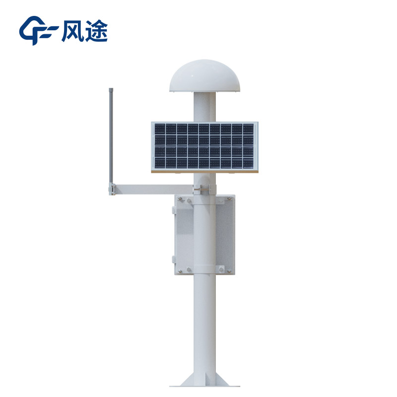
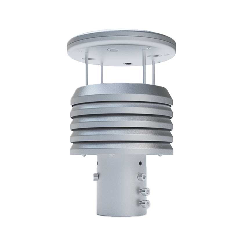
Weather station
-
Road Weather Station
-
Photovoltaic Inspection
-
Atmospheric monitoring
-
Operating condition monitoring
Recommended article
- The price of meteorological monitoring systems varies from 3,900 to 39,800 yuan depending on the number of monitored elements
- Power Quality Measurement Makes Power Grid Harmonic Detection and Data Logging More Efficient
- High-Precision Meteorological observation equipment Aids Field Environmental Monitoring
- How Forest Weather Station Improves Forest Fire Risk Early Warning Capabilities Through Real-Time Data Acquisition
- The Electrical Power Analyzer's four-channel synchronous measurement capability enhances the efficiency of photovoltaic grid-connected testing
- How Ultrasonic Snow Depth Monitoring Stations Achieve Accurate Snow Depth Measurement
Contact us
Shandong Fengtu IOT Technology Co., Ltd
Sales Manager:Ms. Emily Wang
Cel,Whatsapp,Wechat:+86 15898932201
Email:info@fengtutec.com
Add:No. 155 Optoelectronic Industry Accelerator, Gaoxin District, Weifang, Shandong, China
Geological Disaster Monitoring Systems by Fengtu Technology
Article source:Weather station time:2025-09-08 09:29:06 viewed:542times
Natural disasters come in various types. They include not only sudden and highly destructive ones such as earthquakes, volcanic eruptions, debris flows, tsunamis, typhoons, tornadoes, and floods, but also gradual disasters that take a long time to manifest, like ground collapse, land subsidence, desertification, droughts, and coastal line changes. Additionally, environmental disasters caused by human activities—such as ozone layer changes, water pollution, soil erosion, and acid rain—also require attention. These disasters threaten the safety of human life and property, destabilize the ecological environment, and affect social development. Therefore, scientifically understanding the occurrence and development laws of disasters and minimizing their harm as much as possible has become a crucial topic of common concern for the international community.
With the continuous advancement of sensing technology, positioning technology, and other fields, more technological elements have been integrated into the construction of disaster prevention and mitigation projects. This change has not only given rise to a variety of natural disaster monitoring devices with different functions, but also formed a series of comprehensive solutions for natural disaster monitoring and early warning. These scientific and technological achievements can effectively reduce the work pressure of staff, significantly improve work efficiency, help achieve the disaster prevention and mitigation goal of "frequent monitoring, early prevention, and comprehensive protection," and provide technical support for responding to various natural disasters.
To meet the monitoring needs for extreme and sudden hydrogeological disasters, Fengtu Technology has launched a variety of Geological Disaster Monitoring Systems.
The Tipping Bucket Rainfall Monitoring Station (Model: FT-YJ1) is a key device for rainfall monitoring. Its core component, the tipping bucket, flips over each time it collects a fixed volume of rainwater. By recording the number of flips, the rainfall can be accurately calculated. The real-time transmitted data provides basic hydrological basis for judging the occurrence probability of disasters such as debris flows and landslides, and it is widely used in rain-sensitive areas such as mountainous regions and river valleys.
The GNSS Surface Automatic Displacement Monitoring Station relies on the Global Navigation Satellite System to obtain real-time 3D coordinates of monitoring points with millimeter-level accuracy. One of its models, FT-WY1, is suitable for large-scale area monitoring (e.g., around large landslides) and can form a monitoring network covering the entire dangerous area through networking. The other model targets small-scale key areas such as highway slopes and railway lines, focusing on local deformation to detect potential sliding risks in a timely manner and provide accurate data for engineering protection.
The Mud (Water) Level Monitoring Station (Model: FT-SW) is mainly used to monitor changes in mud and water levels in areas such as debris flow gullies and river channels. The sensor collects real-time data on the height of the mud-water surface; when the mud-water level exceeds the early warning threshold, an alarm is quickly triggered, buying time for the evacuation of people in downstream areas and ensuring the safety of people's lives.
The Inclination and Acceleration Monitoring Station (Model: FT-QJZ1) can accurately monitor changes in the inclination angle and acceleration of structures such as mountain slopes and embankments. It records subtle structural deformation trends and detects signs of structural instability in a timely manner. It is often used for safety monitoring of key projects such as mine slopes and water conservancy dams to prevent disasters like collapses and dam breaks.
The Tubular Soil Moisture Monitoring Station (Model: FT-GTS3) embeds sensors in soil at different depths to collect real-time soil moisture data. It provides key soil hydrological information for analyzing slope stability and predicting debris flows, and is suitable for monitoring scenarios of various soil slopes.
The Laser Night Vision Monitoring Station (Model: FT-JGYS1) has all-weather and long-distance monitoring capabilities. During the day, it collects images via a high-definition camera; at night, it achieves clear imaging with the help of a laser lighting system. It can monitor real-time surface changes in areas such as slopes and debris flow gullies, detect abnormal conditions like crack expansion and soil sliding in a timely manner, and provide intuitive image support for on-site inspections and emergency response.
This paper addresses:https://www.fengtuweather.com/industry/788.html
Related products
Related article
-
Full Intelligent Control Soil and Water Conservation Digital High Precision Artificial Rainfall Simulation System
2024-04-17 -
Vehicle-Mount Weather Station by Fengtu: Integrated Monitoring for Drone Meteorological Safety
2025-07-02 -
How do you measure negative oxygen ion concentration? Real-time this portable instrument
2024-04-07 -
Breaking Barriers: How Ultrasonic Smart Weather Station Simplifies Meteorological Observation
2025-01-03 -
What do weather station monitoring systems bring to agriculture?
2024-02-23 -
FT-SW2: An River Level Monitoring Station
2025-11-06 -
Meteorological monitoring system meteorological monitors
2024-06-21 -
FT - CZ5SVehicle - Mount Weather Station: Uniting Surveillance and Mobility for Environmental Monitoring
2025-04-15