
Product
-
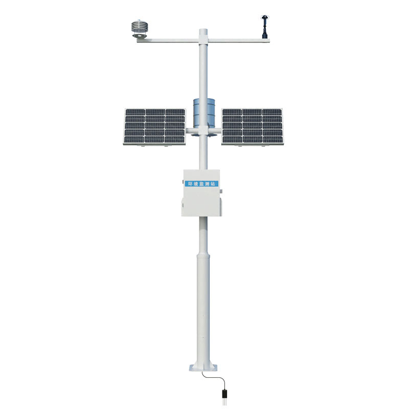
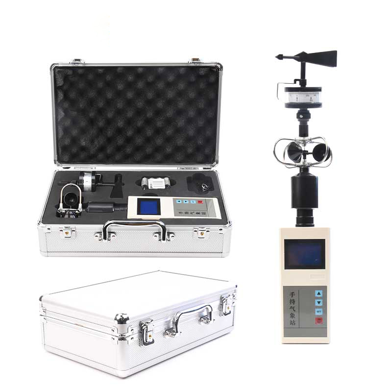
Weather station
-
Road Weather Station
-
Photovoltaic Inspection
-
Atmospheric monitoring
-
Operating condition monitoring
Recommended article
- The price of meteorological monitoring systems varies from 3,900 to 39,800 yuan depending on the number of monitored elements
- Power Quality Measurement Makes Power Grid Harmonic Detection and Data Logging More Efficient
- High-Precision Meteorological observation equipment Aids Field Environmental Monitoring
- How Forest Weather Station Improves Forest Fire Risk Early Warning Capabilities Through Real-Time Data Acquisition
- The Electrical Power Analyzer's four-channel synchronous measurement capability enhances the efficiency of photovoltaic grid-connected testing
- How Ultrasonic Snow Depth Monitoring Stations Achieve Accurate Snow Depth Measurement
Contact us
Shandong Fengtu IOT Technology Co., Ltd
Sales Manager:Ms. Emily Wang
Cel,Whatsapp,Wechat:+86 15898932201
Email:info@fengtutec.com
Add:No. 155 Optoelectronic Industry Accelerator, Gaoxin District, Weifang, Shandong, China
Forest Fire Detection Provides Automatic Meteorological Monitoring and Forest Fire Warning
Article source:Weather station time:2025-12-30 10:12:16 viewed:550times
Forest Fire Detection is an automatic monitoring system designed for forest environments. By continuously collecting key meteorological factors such as wind speed and direction, air temperature and humidity, and solar radiation in forest areas, it provides real-time data support for forest fire warning and prevention decision-making.
Forest Fire Detection is a practical automated system specifically designed for monitoring forest fire risk. Its core function is to continuously monitor multiple meteorological and environmental parameters in forest areas, especially in fire-prone regions. The system collects and analyzes this real-time data to assess fire risk levels, providing a basis for early warning and fire resource allocation.
The system typically consists of three parts: front-end automatic meteorological monitoring stations, a data transmission network, and a back-end warning center platform. Monitoring stations are directly deployed in key forest areas and integrate various sensors. Wind speed and direction sensors record air flow data, temperature and humidity sensors measure ambient temperature and relative humidity, and solar radiation sensors monitor light intensity. In addition, some systems can also integrate soil moisture sensors or video surveillance equipment.
These monitoring stations operate 24/7, automatically collecting data at set intervals. The collected data is transmitted to the command center server via a wireless communication network, such as 4G/5G or dedicated radio. The warning platform software aggregates, stores, and analyzes the data, and visually displays the real-time status and historical trends of each monitoring point in the form of charts or maps.
The system's deployment locations are scientifically selected. They are usually set in high-risk areas within forest fire risk zones, forest edges with frequent human activity, and mountain valleys where lookout towers have blind spots. Installation locations require open surroundings without significant obstructions to ensure the representativeness and accuracy of meteorological data measurements.
The obtained meteorological data is directly used for calculating and forecasting forest fire risk levels. High temperature, low humidity, strong winds, and strong solar radiation significantly increase the dryness of combustible materials and the risk of forest fire spread. The system, through built-in algorithms or in conjunction with professional meteorological models, can automatically calculate and publish the fire risk meteorological level for the next 24 hours or longer. When the data reaches a preset warning threshold, the system can send alerts to management personnel through the platform interface, SMS, and other methods.
In addition to warnings, the long-term continuous data accumulated by this system also has research value. Years of meteorological monitoring data are helpful in analyzing the meteorological patterns of local forest fires, providing data references for the scientific demarcation of fire prevention periods and the planning and construction of biological firebreak belts. In daily management, real-time wind direction and speed data can also provide on-site meteorological support for firefighting efforts during active fires.
The effective operation of the system depends on stable power supply and communication guarantees. Remote forest areas typically use solar panels paired with batteries for power supply. In areas with weak communication signals, it may be necessary to build relay stations or use satellite communication. Regular personnel inspections and equipment maintenance, including sensor calibration, equipment cleaning, and line checks, are necessary to ensure the long-term accuracy and reliability of the data.
Overall, the Forest Fire Detection system achieves real-time monitoring of key meteorological conditions in forest areas through automated means. It changes the traditional single mode of relying on manual observation and patrols, improving the spatiotemporal density and objectivity of fire risk monitoring. It is an important technical component of modern forest fire prevention systems, providing an effective information tool for pre-fire prevention and in-fire command.
This paper addresses:https://www.fengtuweather.com/industry/863.html
Related products
Related article
-
Role of PV Weather Station in Real-Time Meteorological Monitoring for Photovoltaic Power Generation
2025-08-08 -
Construction Site Dust Control with Dust Detector
2025-04-16 -
Small weather stations, weather stations that don't take up much space
2024-03-07 -
Cruising - based Dust Pollution Monitoring
2025-04-30 -
The FT - CZ5 Vehicle - Mount Weather Station: A Compact Powerhouse for Meteorological Monitoring
2025-04-17 -
Highway Visibility Detector for Enhanced Safety
2024-08-23 -
Meteorological Monitoring for Drone Takeoff and Landing: Application of Vehicle Weather Station
2025-05-20 -
Inhalable Dust Continuous Tester: A Portable Solution for Dust Concentration Monitoring
2025-01-08