
Product
-
Weather station
-
Road Weather Station
-
Photovoltaic Inspection
-
Atmospheric monitoring
-
Operating condition monitoring
Recommended article
- The price of meteorological monitoring systems varies from 3,900 to 39,800 yuan depending on the number of monitored elements
- Power Quality Measurement Makes Power Grid Harmonic Detection and Data Logging More Efficient
- High-Precision Meteorological observation equipment Aids Field Environmental Monitoring
- How Forest Weather Station Improves Forest Fire Risk Early Warning Capabilities Through Real-Time Data Acquisition
- The Electrical Power Analyzer's four-channel synchronous measurement capability enhances the efficiency of photovoltaic grid-connected testing
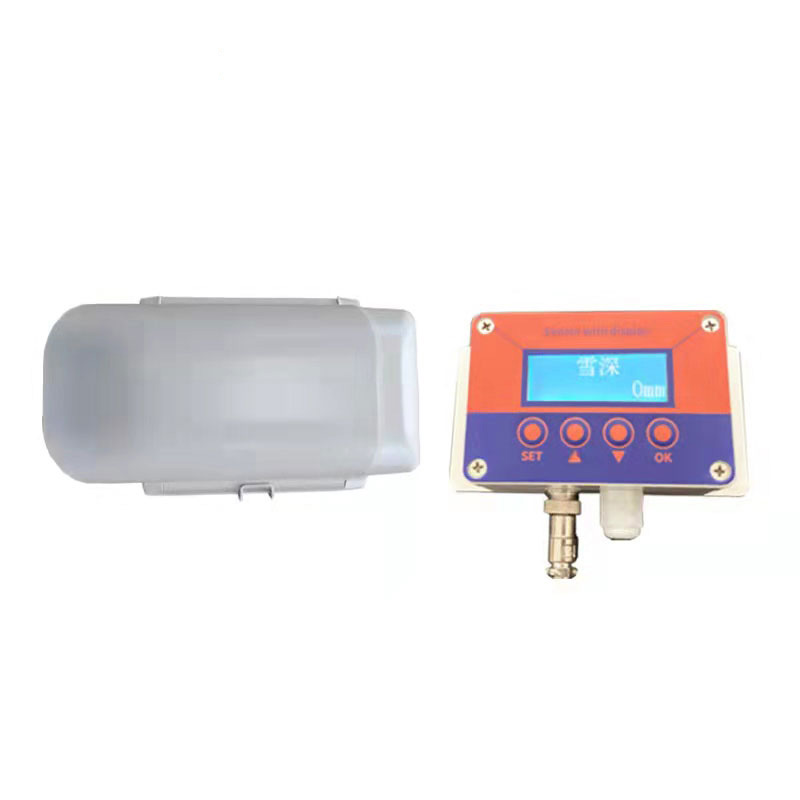
- How Ultrasonic Snow Depth Monitoring Stations Achieve Accurate Snow Depth Measurement
Contact us
Shandong Fengtu IOT Technology Co., Ltd
Sales Manager:Ms. Emily Wang
Cel,Whatsapp,Wechat:+86 15898932201
Email:info@fengtutec.com
Add:No. 155 Optoelectronic Industry Accelerator, Gaoxin District, Weifang, Shandong, China
How Landslide Monitoring Systems Work to Mitigate Geological Hazards
Article source:Weather station time:2024-12-04 09:31:37 viewed:548times
A landslide is a common geological disaster, which refers to the phenomenon that the soil or rock mass on a hillside slides down the slope as a whole or in a scattered manner along a weak surface or weak zone under the influence of various factors and gravity.
Its formation is the result of the combined action of multiple factors. For example, in terms of topography and geomorphology, areas with a slope between 10 and 45 degrees and a large elevation difference, as well as mountains composed of loose deposits or weathered and fragmented rocks, are more prone to landslides due to their low shear strength.
Meteorological and hydrological conditions are also extremely crucial. Heavy rainfall not only increases the water content and unit weight of the rock and soil mass but also reduces the shear strength, especially during continuous heavy rainstorms. At the same time, the scouring of the slope toe by rivers will weaken the supporting force and induce landslides. The seismic waves generated by earthquakes will damage the structure of the rock and soil mass of the mountain and change the stress state, triggering landslides. For instance, the 2008 Wenchuan earthquake led to numerous mountain landslides. Human activities cannot be ignored either. Unreasonable excavation of the slope toe during engineering construction, such as improper cutting of slopes during the construction of mountain roads, and the unreasonable irrigation and drainage systems that cause abnormal changes in the groundwater level will all undermine the stability of the mountain and increase the risk of landslides.
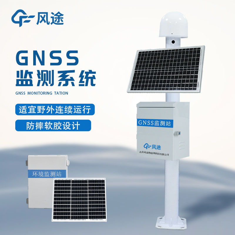
The landslide monitoring system is based on the global navigation satellite system, such as GPS and Beidou. The satellites emit signals, and the GNSS receivers fixed on the landslide body and its surroundings receive signals from multiple satellites to determine the position.
During the monitoring process, monitoring points and reference points are first reasonably arranged in different parts of the landslide body and the stable area. The receivers automatically collect data containing three-dimensional coordinates and time information at set time intervals and store or transmit them to the data processing center. During data processing, abnormal data such as noise is first removed through preprocessing, and then differential technology is used to improve the positioning accuracy. Through analysis, the change of the displacement of the monitoring point over time is obtained, and a displacement-time curve is drawn. Parameters such as the deformation rate and direction of the landslide body can also be calculated by comprehensively using the data of multiple monitoring points.
When the monitoring data shows that the landslide displacement exceeds the threshold, the system will automatically issue a warning. Relevant personnel can be notified through text messages, emails, or audible and visual alarm devices, so that emergency measures such as evacuating residents and blocking roads can be taken in a timely manner, effectively preventing the risks and losses caused by landslide disasters.
This paper addresses:https://www.fengtuweather.com/industry/569.html
Related products
Related article
-
Handheld Radar SpeedGun Supports Both Manual and Automatic Sampling Modes
2026-04-30 -
From Risk Mitigation to Cost Reduction: The Role of Photovoltaic Weather Stations in Solar Energy Management
2025-07-21 -
Fengtu Dust Detector: An Effective Tool for Dust pollution control
2024-12-30 -
Dust Detector: Navigating the Challenges of dust pollution in construction
2024-12-26 -
The Role of Ground Penetrating Radar in Addressing Municipal Infrastructure Detection Needs
2025-08-28 -
Harnessing the Power of Dust Detector for a Dust-Free Environment
2024-12-24 -
Portable Weather Station "Highlights"
2024-01-31 -
Agricultural Environment Monitoring System for more scientific agricultural production
2024-07-26