
Product
-
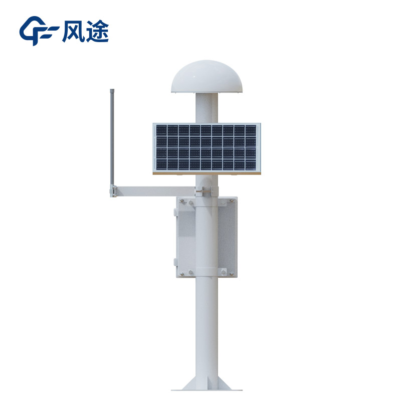
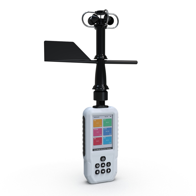
Weather station
-
Road Weather Station
-
Photovoltaic Inspection
-
Atmospheric monitoring
-
Operating condition monitoring
Recommended article
- The price of meteorological monitoring systems varies from 3,900 to 39,800 yuan depending on the number of monitored elements
- Power Quality Measurement Makes Power Grid Harmonic Detection and Data Logging More Efficient
- High-Precision Meteorological observation equipment Aids Field Environmental Monitoring
- How Forest Weather Station Improves Forest Fire Risk Early Warning Capabilities Through Real-Time Data Acquisition
- The Electrical Power Analyzer's four-channel synchronous measurement capability enhances the efficiency of photovoltaic grid-connected testing
- How Ultrasonic Snow Depth Monitoring Stations Achieve Accurate Snow Depth Measurement
Contact us
Shandong Fengtu IOT Technology Co., Ltd
Sales Manager:Ms. Emily Wang
Cel,Whatsapp,Wechat:+86 15898932201
Email:info@fengtutec.com
Add:No. 155 Optoelectronic Industry Accelerator, Gaoxin District, Weifang, Shandong, China
Automated Monitoring for Geological Disasters: Solutions for Hazard Point Detection and Early Warning
Article source:Weather station time:2025-06-13 09:25:16 viewed:478times
Background
Geological disasters pose a serious threat to human life, property, and the ecological environment. They come in various types, including landslides, collapses, debris flows, land subsidence, and ground fissures. Against the backdrop of global climate change and increasingly frequent human engineering activities, the frequency and intensity of geological disasters have shown an upward trend. Traditional monitoring of geological disasters mainly relies on regular manual inspections and simple instrument measurements, suffering from low monitoring frequency, poor timeliness, limited coverage, and constraints from topography and weather conditions. These shortcomings make it difficult to meet the needs for real-time and precise monitoring and early warning of geological disasters. In this context, the construction project of automated geological disaster monitoring has become a key measure to enhance the capability of geological disaster prevention and control.
The construction project of automated geological disaster monitoring refers to a systematic engineering that uses modern technological means. By installing various automated monitoring devices, it conducts real-time, continuous, and dynamic monitoring of geological disaster hazard points, and timely transmits and analyzes monitoring data to achieve early warning and prevention of geological disasters.
Main Construction Contents
According to different types of geological disasters and the characteristics of hazard points, corresponding automated monitoring devices are installed:
Surface Displacement Monitoring System: The Global Navigation Satellite System (GNSS) receives satellite signals to achieve high-precision real-time acquisition of three-dimensional coordinate changes at monitoring points, enabling accurate monitoring of horizontal and vertical displacements of disaster bodies such as landslides and collapses.
Deformation Monitoring Devices:
Fissure Meters: Installed on both sides of fissures in geological disaster bodies, they continuously measure changes in fissure width, length, and depth, providing key data for judging the stability of disaster bodies.
Inclinometers: Used to measure changes in the inclination angle of geological bodies, they can promptly detect the tilting trend of mountains, buildings, etc., playing an important role in the early warning of landslides, collapses, and other disasters.
Hydrological Monitoring Devices:
Rain Gauges: Available in various types such as tipping bucket and piezoelectric, they accurately measure rainfall and rainfall intensity, providing basic data for early warning of geological disasters closely related to rainfall, such as debris flows and landslides.
Water Level Monitoring Station: Based on measurement principles like radar, it real-time monitors changes in river water levels, reservoir water levels, and groundwater levels, contributing to the prevention of geological disasters and land subsidence caused by floods.
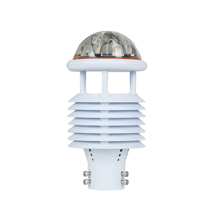
Meteorological Monitoring Devices: Meteorological elements such as temperature, humidity, wind speed, and wind direction have significant impacts on the occurrence and development of geological disasters. Meteorological stations integrate multiple sensors to real-time collect these meteorological data, providing comprehensive meteorological information for the comprehensive analysis and early warning of geological disasters.
After the hardware system is established, a stable and reliable communication network should also be built to real-time transmit the data collected by monitoring devices to the monitoring center. Multiple methods such as wired networks, wireless networks, and satellite communications can be utilized.
A professional geological disaster monitoring and early warning platform should also be developed to centrally store, sort, analyze, and display various collected monitoring data, realizing visual and information-based management of data.
Project Implementation Process
Preparatory Work:
Carry out investigations and evaluations of geological disasters to determine hazard points and key monitoring areas.
Formulate project plans and design schemes.
Prepare project construction funds.
Equipment Procurement and Installation:
Procure appropriate monitoring equipment according to the design scheme, and organize professional technicians for installation and debugging.
System Integration and Debugging:
Integrate each monitoring device with the monitoring platform, establish data transmission links, and conduct system joint debugging to ensure the normal operation of the system.
Operation, Maintenance, and Management:
Formulate operation and maintenance management systems, and designate specific personnel responsible for the daily operation and maintenance of the system.
Regularly inspect, calibrate, and repair monitoring equipment.
Timely update and upgrade the software of the monitoring platform.
This paper addresses:https://www.fengtuweather.com/industry/723.html
Related products
Related article
-
Fengtu's Negative Oxygen Ion Monitoring Systems: Empowering Environmental Monitoring and Decision-Making
2024-10-23 -
Advantages of Small automatic weather station
2024-09-03 -
Fengtu Online Dust Monitoring System: Functions, Applications and Information Display Modes
2025-08-18 -
IV Curve Testers: Measuring the Current-Voltage Characteristics of PV Modules
2026-05-07 -
Ground Penetrating Radar: Non-Destructive Precision Detection for Voids Beneath Building Floors
2025-07-17 -
How Dust Monitoring Equipment Safeguards Construction Site Air Quality
2025-08-14 -
Fengtu Dust Detector: An Effective Tool for Dust pollution control
2024-12-30 -
Advantages of Negative Oxygen Ion Monitoring Stations
2024-03-12