
Product
-
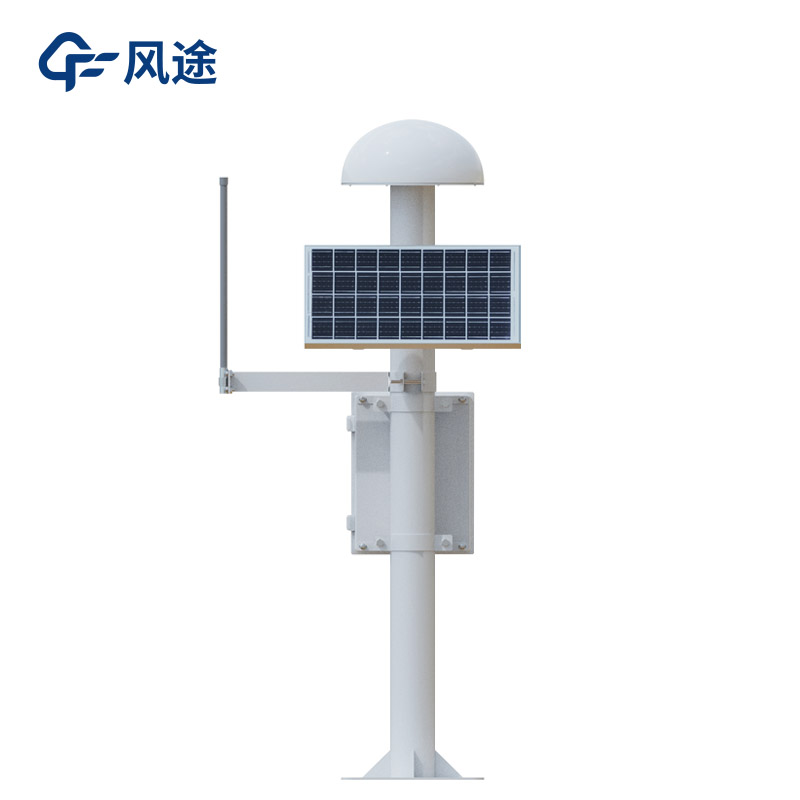
Weather station
-
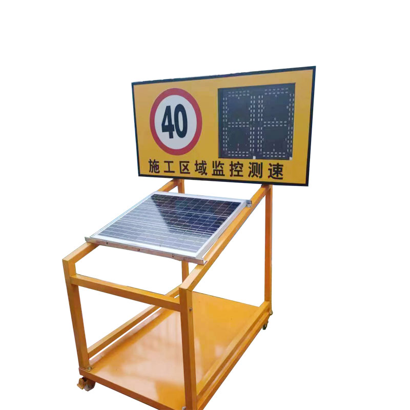
Road Weather Station
-
Photovoltaic Inspection
-
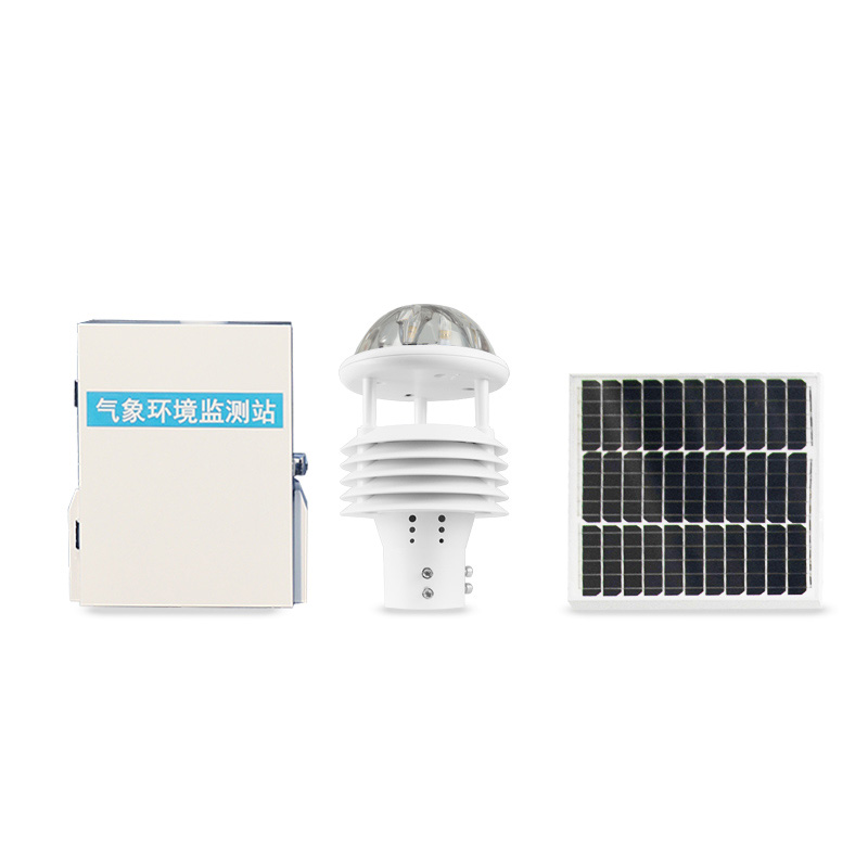
Atmospheric monitoring
-
Operating condition monitoring
Recommended article
- How Portable Solar Cell Testers Rapidly Perform PV String I-V Curve Testing
- The price of meteorological monitoring systems varies from 3,900 to 39,800 yuan depending on the number of monitored elements
- Power Quality Measurement Makes Power Grid Harmonic Detection and Data Logging More Efficient
- High-Precision Meteorological observation equipment Aids Field Environmental Monitoring
- How Forest Weather Station Improves Forest Fire Risk Early Warning Capabilities Through Real-Time Data Acquisition
- The Electrical Power Analyzer's four-channel synchronous measurement capability enhances the efficiency of photovoltaic grid-connected testing
Contact us
Shandong Fengtu IOT Technology Co., Ltd
Sales Manager:Ms. Emily Wang
Cel,Whatsapp,Wechat:+86 15898932201
Email:info@fengtutec.com
Add:No. 155 Optoelectronic Industry Accelerator, Gaoxin District, Weifang, Shandong, China
Comprehensive Monitoring and Early Warning Scheme for Geological Disasters
Article source:Weather station time:2025-06-25 09:41:22 viewed:484times
Geological disasters pose a serious threat to people's lives and property as well as the stability of infrastructure. Therefore, establishing a scientific, effective and universal monitoring and early warning scheme is of great importance. This scheme will focus on key indicators of various geological disasters, and realize real-time dynamic monitoring and precise early warning through professional monitoring equipment.
I. Monitoring Projects and Equipment
1. Surface Displacement Monitoring
The GNSS monitoring station is used to receive global satellite navigation signals and real-time obtain three-dimensional coordinate change data of the earth's surface. With millimeter-level accuracy, this system can effectively monitor surface displacements caused by disasters such as landslides and land subsidence, providing basic data for disaster early warning.
2. Crack Monitoring
The integrated surface displacement monitoring system uses high-precision sensors to continuously monitor the changes in width, length and depth of cracks on the surface of geological bodies. Equipped with an automatic calibration function, the system can adapt to different environmental conditions, detect subtle changes in cracks in a timely manner, and judge the development trend of disasters.
3. Deep Displacement Monitoring
The integrated deep displacement monitoring system buries inclinometer pipes and sensors inside geological bodies to monitor the displacement of strata at different depths. It can accurately capture the deformation information of deep strata, providing a basis for evaluating the depth and scale of geological disaster hazards.
4. Groundwater Level Monitoring
The Pore water pressure gauge uses pressure sensors to real-time measure changes in groundwater level and pore water pressure. Through data analysis, it can predict the risk of disasters such as landslides and collapses caused by abnormal fluctuations in groundwater level.
5. Soil Moisture Content Monitoring
The integrated soil temperature and humidity monitoring system measures soil water content and temperature through sensors, and analyzes the changes in soil physical and mechanical properties. Excessively high soil moisture content is prone to reduce the shear strength of soil and trigger disasters such as landslides. This monitoring provides important references for disaster early warning.
6. Rainfall Monitoring
The integrated rainfall monitoring system adopts a tipping bucket rain gauge to automatically record rainfall and rainfall intensity. Combined with historical data and regional geological conditions, it can establish a rainfall-geological disaster relationship model and release early warning information in a timely manner.
7. Video Surveillance
The integrated video surveillance system is equipped with high-definition cameras and night vision functions to conduct real-time visual monitoring of key areas. It can intuitively observe the changes at the site of geological disasters and assist manual judgment of the disaster development trend.
8. Mud Water Level Monitoring
The mud water level monitor real-time monitors the changes in mud water level in debris flow gullies and river channels, providing data for debris flow disaster early warning.
II. Data Transmission and Processing
Each monitoring device transmits data to the monitoring center server in real time through wireless communication modules (such as 4G, NB-IoT, etc.). The server uses big data analysis technology to carry out fusion processing on multi-source data, establish a geological disaster risk assessment model, automatically identify abnormal data by setting thresholds, and generate risk level reports.
III. Early Warning Mechanism
According to the risk level, the early warning is divided into four levels: blue (general), yellow (relatively severe), orange (severe), and red (extremely severe). When the monitoring data reaches the early warning threshold, the system will automatically release early warning information through various channels such as text messages, APP pushes, and broadcasts, notify relevant departments and responsible persons, launch emergency response plans, and take measures such as personnel evacuation and engineering rescue to minimize disaster losses.
In summary, this scheme integrates various monitoring means to form a comprehensive monitoring and early warning system.
This paper addresses:https://www.fengtuweather.com/industry/731.html
Related products
Related article
-
Solar Powered Weather Station Enabling Unattended Field Monitoring via MPPT Technology
2026-04-17 -
Portable Negative Oxygen Ion Detector FT-FY1 Manual
2024-03-27 -
Forest fire weather station, intelligent fire prevention
2024-03-20 -
What are air quality monitoring stations?
2024-06-06 -
Ultrasonic Snow Depth Detector Achieving Millimeter-Level Automatic Snow Depth Measurement Using Ultrasonic Ranging Principles
2026-03-19 -
Introduction to forest security monitoring systems
2024-04-12 -
What Weather Station Models Are Worth Recommending?
2025-03-04 -
The FT - CZ5 Vehicle - Mount Weather Station: A Compact Powerhouse for Meteorological Monitoring
2025-04-17